Your browser doesn't support the features required by impress.js, so you are presented with a simplified version of this presentation.
For the best experience please use the latest Chrome, Safari or Firefox browser. Upcoming version 10 of Internet Explorer should also handle it.
severe weather walkthrough
(hit spacebar)
Severe Weather Walkthrough
Brought to you by hayley of wickedwx.
Use the arrow keys or spacebar to navigate.

A watch means that severe weather is predicted to happen sometime soon in the watch area. A warning means that severe weather has been spotted in an area or will be happening shortly.
Today's severe weather outlookValid starting in the morning at 6A CST. Also called "Day 1" by the SPC.

This map shows areas of non-severe thunderstorms (green) and then areas with risks of severe thunderstorms: slight (yellow), moderate (red), and high risk (purple).

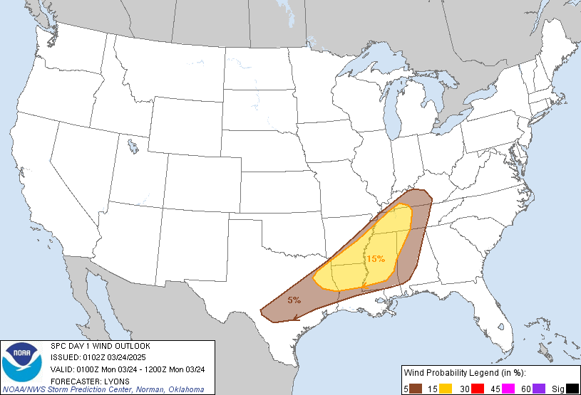
Severe winds are winds 58 MPH and greater. If black hatched areas exist, there is an additional chance that these winds will be significant, which is defined as winds 75 MPH or greater.

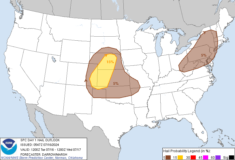
Severe hail is hail 1" or larger. If black hatched areas exist, there is an additional chance that the hail will be 2" or larger.
Today's Tornado Risk

Tornadoes are rated from EF0 to EF5. If black hatched areas exist, there is a chance for significant tornadoes, EF2 and stronger.
Tomorrow's severe weather outlookValid starting tomorrow morning at 6A CST. Also called "Day 2" by the SPC.

This map shows areas of non-severe thunderstorms (green) and then areas with risks of severe thunderstorms: slight (yellow), moderate (red), and high risk (purple).

This map shows the specific probabilities of severe weather areas. Only today's map breaks the probabilities into tornado, wind, and hail.
Day 3 severe weather outlookDay 3 is the day after tomorrow. This outlook is valid starting the day after tomorrow morning at 6A CST.

This map shows areas of non-severe thunderstorms (green) and then areas with risks of severe thunderstorms: slight (yellow), moderate (red), and high risk (purple).

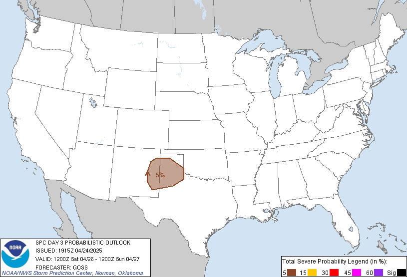
This map shows the specific probabilities of severe weather areas. Only today's map breaks the probabilities into tornado, wind, and hail.
Where to now?Why not visit wickedwx?